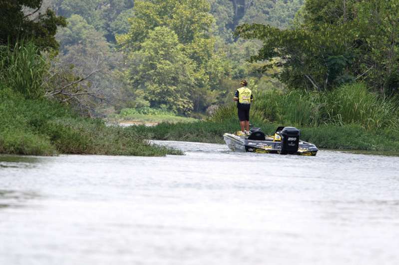
9. Alabama River
The Alabama River is born from a melding of the Coosa and Tallapoosa rivers north of Montgomery at Fort Tolouse State Historical Park and snakes southwest across the state to its destiny with the Tombigbee to form the Mobile River. Along its route, it has been impounded into three quality bass lakes.
Jones Bluff, where current is king, covers 12,520 acres. Spots are plentiful here on the main channel, but bite only when the dam gates are open. (The generation schedule is available by calling the U.S. Army Corps of Engineers at 334-682- 4896.) Largemouth are abundant in the flooded creeks and backwaters. Unimproved access to the lower Coosa River is available below Jordan Dam on the east side. Improved boating and fishing access to the lower Coosa River is available at Crommelin Landing and at Fort Toulouse. There are boat ramps in the middle and lower part of Jones Bluff at Benton, Cooters Pond, Gunter Hill, Holy Ground Battlefield Park, Powder Magazine, Prairie Creek and Swift Creek.
Millers Ferry offers 17,200 acres of bassing opportunities stretching more than 105 river miles. According to ADCNR biologists, largemouth are found primarily in the backwater areas such as Alligator Slough, Houseboat Slough, Pine Barren Creek, Gee’s Bend and Foster Creek. Spotted bass are found in the main river areas, around deep, rocky points and bluff walls. A getaway spot on Millers Ferry is Roland Cooper State Park near Camden, which has vacation cabins and a modern campground. The ADCNR and the U.S. Army Corps of Engineers have built a number of quality ramps around Millers Ferry.
Claiborne Lake, with some 5,930 acres, stretches 60 1/2 miles through Wilcox, Clarke and Monroe counties in southwest Alabama — a rural, undeveloped area that results in minimal pressure on the lake and good bass fishing. There are camping facilities at Isaac Creek Campground, just upstream of the dam. For U.S. Army Corps of Engineers camping and recreational facilities, call 334-682-4244. Primitive camping is available at Bells Landing, Haines Island and Silver Creek access areas. Lodging, food and fuel can be found in the city of Monroeville. See www.monroe countyal.com for details.
Below Claiborne, the river runs its natural course for an additional 72 1/2 miles to the confluence with the Tombigbee northeast of Mount Vernon, and these waters also provide good bassing — and little competition. For more information about the Alabama River, visit montgomerychamber.com
For more information on the Alabama Bass Trail, visit AlabamaBassTrail.org.
