Each time the Bassmaster Elite Series visits Lake Champlain, a common question persists: Will “Ti” play?
Ti’s short for Ticonderoga — the area best known for the namesake fort, originally built in 1755-57 during the French and Indian War. Strategically located for access to Canada (through Lake Champlain, then up the Richelieu River into Quebec) and the Hudson River to the south, the site originally named Fort Carillon saw significant fighting — kinda like the big-time largemouth battles for which this area is best known.
And yes, that was a teaser.
When the British captured this position in 1759, they renamed it Ticonderoga, which comes from the Iroquois word for “between the two waters.” That’s a reference to the proximity of Lake George, which sits on Champlain’s southwest corner and connects to Champlain via the La Chute River running through the hamlet of Ticonderoga.
Stay with us; we’re building toward a relevant point.
About 16 years after the British took control of Fort Ticonderoga, the Revolutionary War began on April 19, 1775 with the battles of Lexington and Concord. On May 10 of that year, Vermont’s Green Mountain Boys militia, under the joint command of their leader Ethan Allen and American Continental Army officer Benedict Arnold snuck across the lake at dawn and captured the British garrison.
Suffice it to say, the sleeping British were unaware of what Champlain’s lower end would deliver; and the same might be true for anglers making the long run from uplake launches like the Elite’s host site of Plattsburgh.
Teaser No. 2.
THE COMMON ATTRACTION
Before delving into the lower end’s lesser-known treasures, let’s examine what motivates anglers to make the 60- to 70-mile run downlake.
In the interest of accuracy, “Ti” is a regional term, obviously originating on the lake’s New York side. Vermont anglers like Shawn Good of the state’s Fish and Wildlife Department, typically reference “Southern Champlain” — basically, from the Crown Point Bridge (aka Lake Champlain Bridge) down to the South Bay reaches around Whitehall, N.Y.
“This is where the lake is more riverine with vast flats full of vegetation and wetland complexes with a deep channel winding its way up the middle,” Good said. “The locals like to refer to it as ‘the river,’ even though it’s not the river, but it’s the headwaters of Champlain. Everything flows from there north.”
Plenty of quality largemouth inhabit other areas of the lake — in particular, the woody and vegetated shallows of the northern end, as well as marina docks and other shady refuges. However, for events launching uplake, Southern Champlain’s heralded largemouth fishery has historically tempted anglers to commit about 3 hours of round-trip travel (including fuel stops).
Common techniques include flipping/punching, frogging, swim jigs and bladed jigs. When it’s good, it’s really good; but the potential reward comes with significant risk.
“I like the fishing down there,” said shallow water specialist John Cox. “Once you get down there, it’s easier to fish because it’s narrower.
“The only thing is that the key spots can be scarce, so if you commit to the run and 20 other guys go down there, you wonder, ‘are we all going to be fishing the same two spots?’”
Cox also points to the significant weather consideration. On calm days, it’s a good hour-plus run from Plattsburgh to the southern waters, but it does not take much wind to make the run down and/or back miserable.
“It can be calm when you run down there, but you start back and it can get really rough,” Cox said. “Then you’re worried about getting back with your fish.”
Good agrees with that assessment, but while he’s not trying to talk anyone into a run that’s unsafe or simply not strategically sensible, he’s keen to point out another solid reason to consider the Ti, sorry — Southern Champlain option.
WHAT MAY SURPRISE YOU
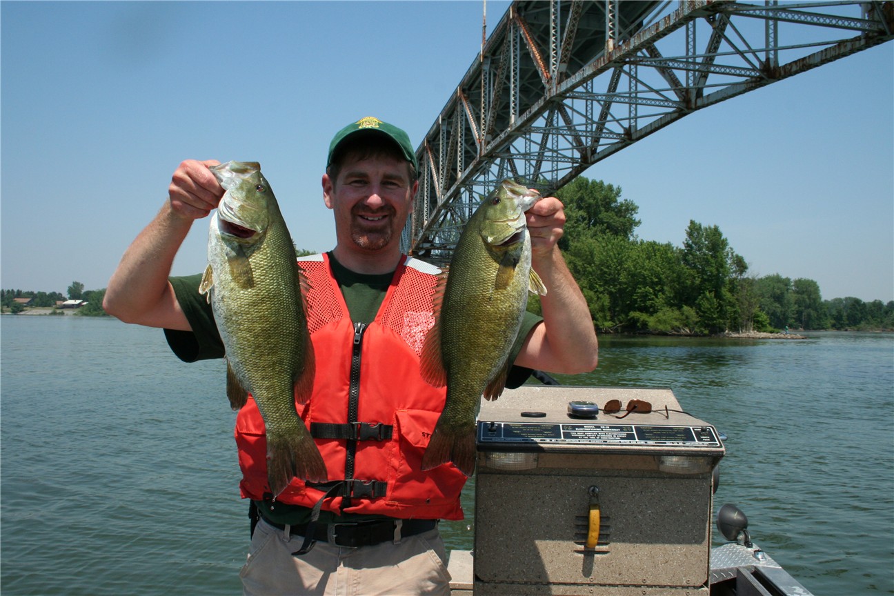
Complementing the mostly straightforward largemouth game, Good said his 26 years of sampling and recreationally fishing Champlain’s lower end have revealed an eye-opening number of quality smallmouth.
“The main lake and the north lake has more smallmouth habitat, although smallmouth is an overlooked species on the southern lake,” he said. “They’re there; they’re just very difficult to target.”
As Good explained, the terrain and topography surrounding Champlain’s lower end creates more silty, nutrient-rich runoff, which yields more naturally murky complexion. While the main to upper lake may offer 5-8 feet of visibility in calm conditions, a foot is considered good visibility down south.
“You’re not going to dropshot in 15-20 feet of water (as is common farther uplake) because the fish can’t see you’re bait when the water is so murky,” Good said. “But smallmouth don’t shy away from that area.
“Some of the biggest smallmouth I’ve ever seen have come from the southern end of Lake Champlain during my electrofishing surveys. I get 5- to 5 1/2-pounders regularly in my surveys. I have seen some that were pushing 6. I see those big fish mostly during the spawn.”
Not given to grouping as much as they might uplake, the south end smallies spend much of their time roaming the channel’s deeper water. They will, however, school on shallow alewife pods right at daybreak. Given the timing of most tournament launches, that bite is over by the time competitors reach the southern end.
The point of the story is this: Running from the lake’s upper end to the lower end requires careful calculations of time, fuel consumption and, most importantly, weather conditions. Safety first, but for those who believe they can make the run, there’s more than one reason to go.


