Brandon Lester calls Lake Guntersville his home lake, which is partly true (Tims Ford Reservoir is his true home lake). In any case, the middle Tennessean knows Guntersville really well, having fished it frequently while enrolled at the University of Tennessee Chattanooga.
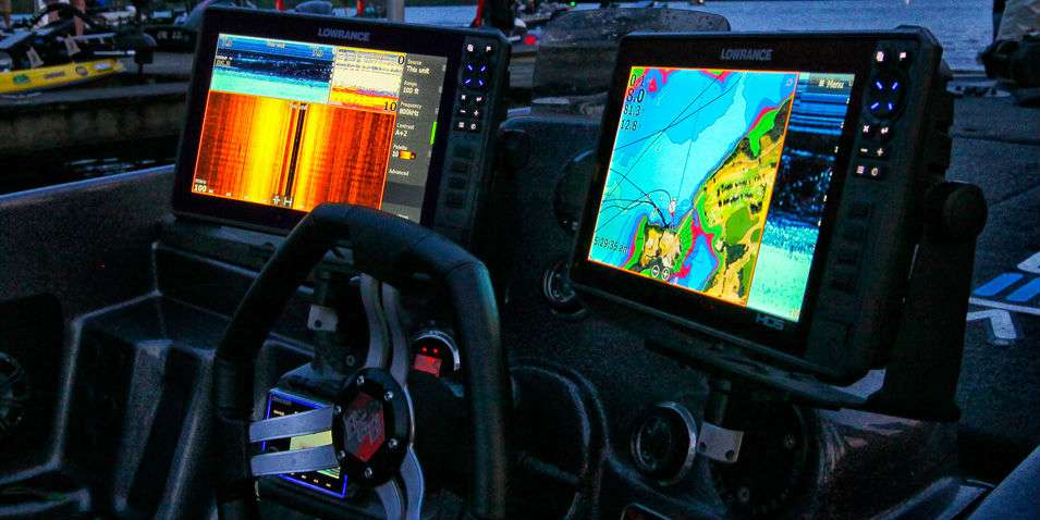
Yesterday, Lester surprised us all during his post-weigh-in interview when he announced having found a place that he never fished before. He revealed that place is a submerged roadbed. Now, of all the manmade underwater structures, a roadbed is the most prominent and easiest to find, be that on an old-school paper map or today’s high def and high tech electronics.
So what’s so special about this roadbed? Beyond, of course, the numbers on the BASSTrakk scoreboard showing him in the lead.
The answer is new technology available in his Lowrance HDS 12 and specifically C-MAP Genesis Edge. Subscribers have access to new bottom-hardness map layers with one-foot contours. The contour lines are overlaid on the map and appear in color-coded representation by size, shape and location by areas of different bottom hardness.
“I just got it before I came down here,” said Lester. “I spent about five hours in my garage studying the new maps and found some hard bottom areas that I never saw before.”