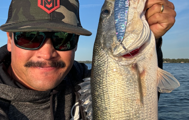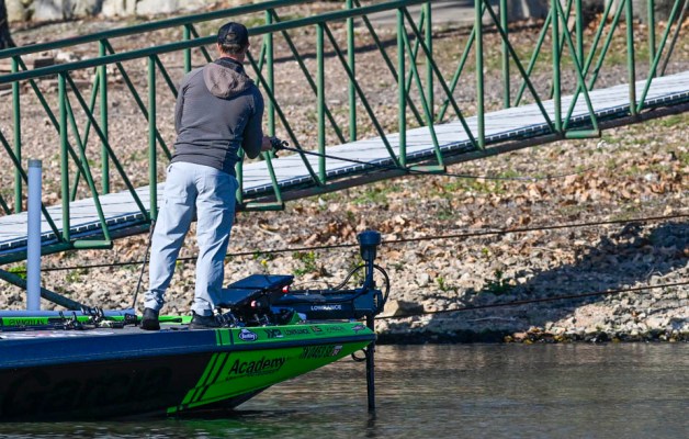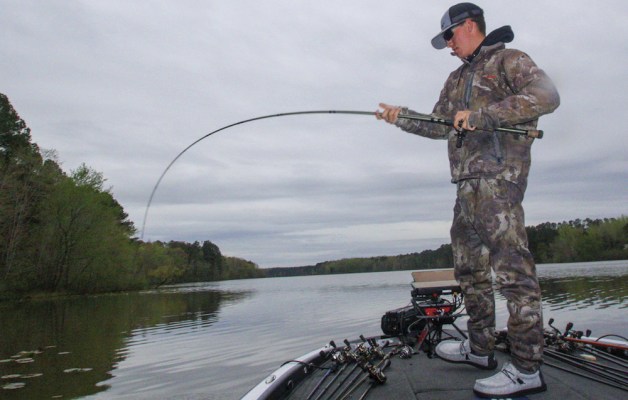
If your fishing exploits should happen to take you to Sardis Reservoir in northern Mississippi this year, try to time your visit either during or soon after a drenching rain. Then, get into Perry Creek and start looking for the four-wheeler trails. That's where the bass should be, and they'll hit white spinnerbaits.
"In all my years of fishing, finding bass along those trails where the four-wheelers had worn down the broomsedge grass into well-defined little pathways was one of the most vivid examples of a migration route I've ever seen," says Elite Series pro Pete Ponds. "There was no problem identifying the trails, and the bass were using them to move shallow as the water level rose."
Ponds, winner of the 2004 Bassmaster Southern Open on Alabama's Lake Eufaula, readily admits, however, that finding and identifying most bass migration routes — the paths fish generally travel when moving back and forth between deep and shallow water — is seldom so easy.
"A lot of different factors influence bass movements," he cautions, "and the fish don't move on a published timetable. Then, there are the resting or staging factors to consider in which bass stop along their route, and if the weather turns bad, they may actually retreat back the way they've come."
Still, the Mississippi pro adds, understanding and learning to identify migration routes can definitely increase an angler's chances of success. Migrations tend not only to involve large numbers of fish but also to keep them reasonably close together for long periods of time.
To be sure, the subject of bass movements is not new. Some of the earliest studies documenting largemouth relocations date back to 1913, and as biologists began studying bass more and more during the 20th century, a greater understanding of why the fish move has emerged. Interestingly, spotted bass seem to move the least, largemouth the most, and smallmouth fall in between.
Most bass fishermen today are familiar with two huge seasonal movements bass make. These are the migration from deeper water to shallow for spawning (known as the spring migration), which is followed by a reverse migration from the spawning areas to deeper water for the summer; and the late summer/early fall movement back to the shallows to feed (the fall migration). As in the spring migration, bass then move back to deep water again for the duration of the colder winter months.
There are other relocations bass make on an irregular basis, such as searching for more agreeable water temperature or pH conditions. Bass also will follow baitfish, although these movements (with the exception of the fall migration) tend to be shorter and somewhat irregular, as well. And, as Ponds recognized that rainy day on Sardis, flooding water can move bass shallow quite quickly, but this is only a temporary relocation.
"I think the first step is understanding the spring and fall movements because in both cases they are reasonably predictable, and each time the bass become much more concentrated in a smaller area where they remain for weeks," says the Mississippi pro.
"The best part, however, is that bass often use the same migration route coming and going so once you learn it, you can fish it for a long time."
To find the migration route in the spring, Ponds suggests doing a lot of map study to locate potential spawning coves that bass might use, but keying on features bass could use to come into those coves. These include creek channels, tree lines, fencerows, underwater roadbeds and even points.
"I am pretty convinced the spring migration into a spawning area is just instinct," says Ponds, "but not the route bass take to get there. That, I think, to some extent may be learned behavior, and scientific studies have shown bass are capable of recognition and do have memory capability."
Edges are among the most obvious features bass use on their migration routes and can include the edges of grassbeds, treelines and stumprows, all of which are visible above water. In lakes with huge areas covered with vegetation, such as Okeechobee, even a narrow boat lane through the greenery can serve as a travel route.
Underwater, bass frequently travel along the edges of deeper grassbeds, but they also follow old roadbeds, creek channels and shallow ditches.
"One of the things to keep in mind about a bass migration route is that it nearly always also offers protection in some form, most often as deeper water. If there's nothing else available for a bass, it will use a 10-inch ditch."
Ponds spends a lot of time studying features like this with his electronics, crisscrossing a wide creek or a cove back and forth without ever making a cast. Simply finding the possible migration route is not always enough; once he's located a ditch or channel he begins searching for one of those landmarks along the route where bass might stop and stage for a day or longer. Cover is always an important element.
Ponds also thinks points are among bass' favorite landmarks.
"I think bass not only recognize the same points year after year, they are also instinctively attracted to them because they do offer both deep and shallow water," he says.
Roadbeds also rank high on his list of migration routes worth checking. Irregular features, such as turns or dips, often serve as landmarks. The bottom line, Ponds emphasizes, is that most landmarks not only offer some type of visual reference for bass, they also represent some kind of change from everything else around them.
Roadbeds that lead from the shoreline out into progressively deeper water are among the very best migration routes Ponds has ever found because, he says, the fish stay on them longer and just follow them deeper and deeper.
"Most lakes have a basic summer depth for bass," he explains, "a range the fish gradually move to and hold at during the summer months."
Good lake maps show the locations of places like this, Ponds continues, as well as areas that have vegetation, stumps and standing timber. Studying their location and formation will give you a general idea of their viability as migration routes, which can then be confirmed by on-the-water work. The basic requirement is an edge, channel or series of landmarks leading from deep water to shallow.
Bass also follow baitfish, a movement that on some lakes seems to be an almost daily occurrence. It's difficult to determine where the baitfish are or where they're going, except that periodically bass trap them against the surface and start feeding.
In situations like this, baitfish (threadfin shad) often seem to move toward shallow water cover such as treelines or shoreline brush in the afternoon, where they then spend the hours of darkness. They leave that cover early in the morning and head for deeper water, often moving more than a mile. They swim along channels, ridges, underwater brushlines, fencerows and edges, just like bass.
The thing to do in those situations is to carefully study the area with your depthfinder and look for some feature the baitfish are using. Knowing baitfish are either leaving shallow cover (in the morning) or returning to it (in the afternoon) you may be able to correlate map study enough to determine their route of travel. It's difficult, but it has been done, and it's worth trying. When you get it right, you can beat the baitfish to a spot and be waiting when the bass attack.
Overall, concludes Ponds, migration routes offer another option for fishermen in their never-ending search for bass. They do exist, and both bass and baitfish definitely use them, even if they're nothing more than four-wheeler tracks through the grass.


